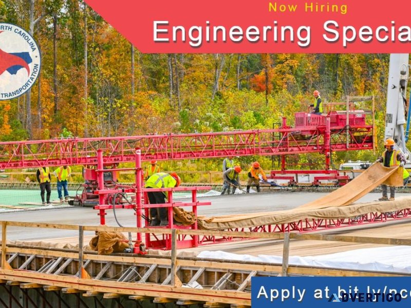
Photogrammetry Engineering Specialist I
How to ApplyYou MUST apply at s tinyurl.com mxs2uht4 by Feb 26. NCDOT is a Great Place to Work.Don t take our word for it. Read what our people are saying at s bit.ly NCDOTGreatPlaceToWork. We are the highest rated state agency for employee satisfaction on Glassdoor with 270 reviews. NEW HIGHER SALARY 46 817 - 81 930 The ChallengeWe re looking for a photogrammetry engineering specialist to join our award-winning Photogrammetry team that captures aerial imagery and generates geospatial information used for transportation planning design and construction. In this role you will Provide technical support to engineers on a complex and advanced assignments necessary to produce or contract for photogrammetric mapping for functional design preliminary design final design and construction earthwork pay quantities. Inspect analyze evaluate and recommend corrective action for consultant- and internally-generated Aerotriangulation Reports Airborne Survey Reports and flight plan and acquired aerial image forward overlap side overlap and ground sample distance pixel size. Analyze consultant- and internally-generated manual and automated image measurements for aerotriangulation and non-metric camera image alignment planimetric mapping and elevation products. Analyze cross sections edit and record discrepancies for resolution with Resident Engineers Office and compute earthwork volume pay quantities. Operate sophisticated photogrammetric analytical stereoplotting instrument and software to stereoscopically measure image coordinates for metric camera imagery aerotriangulation. Operate non-metric camera imagery programs to align imagery to ground coordinates produce orthoimagery 3-D point clouds and classify 3-D point cloud data for ground elevations. What You BringKnowledge and understanding of the concepts practices and theories of professional transportation and geomatics engineering used in photogrammetry LiDAR surveying and conventional surveying as related to highway location design and construction. Knowledge and skills inspecting analyzing and evaluating aerial image acquisition parameters image measurements for planimetric mapping and digital terrain models and Airborne Survey Reports. Experience inspecting analyzing and evaluating Aerotriangulation Image Alignment and Aerotriangulation Reports and recommending corrective action to engineering staff. Knowledge and skills using and operating stereoplotting instruments and photogrammetric software to perform image measurements for aerotriangulation image alignment and exterior orientation determination. Demonstrated ability to perceive overlapping aerial imagery stereoscopically in 3 dimensions and correctly interpret planimetric and terrain features relatively. Education & ExperienceAssociate s degree in Engineering Technology and 6 years progressive technician experience or High School GED Diploma and 8 years progressive technician experience or An equivalent combination of education and experience. Questions Call me Kayren Williamson 919-707-7092 Connect to NCDOT Careers s www.linkedin.com in ncdot-careers Explore more NCDOT jobs s bit.ly NCDOTJobs Curious s bit.ly JoinNCDOT
-
Category: Employment & Jobs
Important!
There are a lot of advertisers on Advertigo. We cannot check them one by one.
You work hard for your money and you want a company you can rely on when you are buying or selling things. That’s why we want to help you protect yourself from fraud. In this section, you’ll find informative tips and other useful material to stay informed and help reduce your chances of falling victim to scammers.
Please understand that Advertigo.net is a free service to help buyers and sellers (and etc.) find one another. Advertigo.net is not involved in any transactions and can not police the actions of our many users.
Useful links
Similar ads

How to start an on-line business from scratch
YHVH Showed Me the Way—Now I’m Sharing It With You
• When I trusted YHVH,
Withdaveandjulie

Cv writing services in new zealand
Get CV writing services in New Zealand by CV writing NZ. Our professional CV and
Zoe Dylan
Resort/ hotel specialist
Resort/ Hotel Specialist
As a Resort/Hotel Specialist, you will be responsible for creating unforgettable vacation experiences
Beth White
Work from anywhere
We have an amazing business opportunity to build dream vacations and business travel with major
Beth White

Help create family referral programs
Join us in helping the 60 to 80 million people worldwide who suffer from infertility
Help Create Families
Admin Support - 117929
Admin SupportPay 16-18 hr.Hours Monday-Friday 8AM-4 30PMJob type Temp to HireLocation Tulsa OkRequirements MUST have
Skilled Division
Header Cleaner - 117364
Header CleanerPay 18 hrHours Monday-Friday (Some Saturdays)6AM-4 30PM OR 6AM-6 30PM Friday-SundayJob type Temp to
Skilled Division
Work from home opportunity
This is a work from home opportunity with a flexible schedule. You can work as
Pamela Butler
Plasma Table Helper - 117924
Plasma Table HelperPay 16 hrHours Weekend and Day ShiftJob type Temp to HireLocation Claremore OkJob
Skilled Division
Attn Moms
Do you feel like you re not moving forward towards success What is your 2024
Melissa Leos